45-Mile-Hour Gusts and 0.75 Inches of Rain Await Southern Colorado
A cold front crossing early Saturday will slash high temperatures by 15 degrees and bring tropical moisture to the region.
By Alessia Desai ·
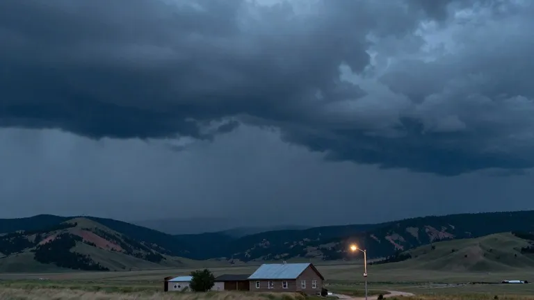
Gusts reaching 45 miles per hour and total rainfall of up to 0.75 inches are expected to impact southern Colorado as a cold front moves through the region. The National Weather Service projects that these conditions will follow a period of scattered showers and hazardous weather in the western mountains.
The shift in weather patterns began Thursday evening, when scattered showers covered the Pikes Peak Region, Pueblo County, and the eastern plains. Overnight lows settled in the 40s and 50s across most of the area. While conditions remained manageable on the plains, the San Juan Mountains and the southwestern corner of the state faced more dangerous weather. Those areas received heavy rainfall, triggering flood watches, severe thunderstorm watches, and several flood warnings.
Friday served as a transitional day before the arrival of the front. Colorado Springs recorded a high of 73 and a low of 51, remaining warmer than average. Pueblo reached 81 with intermittent showers, while Canon City hit 75. Woodland Park stayed above seasonal averages with a high of 56, and the plains saw highs reaching 83. In the mountains, temperatures peaked at 59, with heavy rain and flood risks persisting through the day.
The weather system will intensify Friday night as a cold front crosses Colorado early Saturday. This passage will lower temperatures by 10 to 15 degrees, pushing readings below average. Tropical moisture will shift eastward, delivering additional precipitation to the area. Forecasters indicate that snow levels will drop in the mountains following the front's passage.
The weekend outlook includes strong winds and cold rain, with the possibility of snow in cooler elevations. Plains regions may receive substantial rainfall as temperatures fall. Total accumulations across the region are projected to range between 0.10 inches and 0.75 inches.
Following the weekend, the extended forecast suggests the area will dry out. Temperatures are expected to return to more seasonal levels next week, ending the period of above-average warmth and increased precipitation.
Source: KOAA News5
More News · Colorado Springs news · Report a business · Got a Story?