Record-Breaking Ocean Pattern Set to Drench South Florida This Winter
Meteorologists predict a wetter, warmer, and more tornado-prone season as the strongest El Niño since 1950 continues to influence the Pacific.
By Tomas Rahman ·
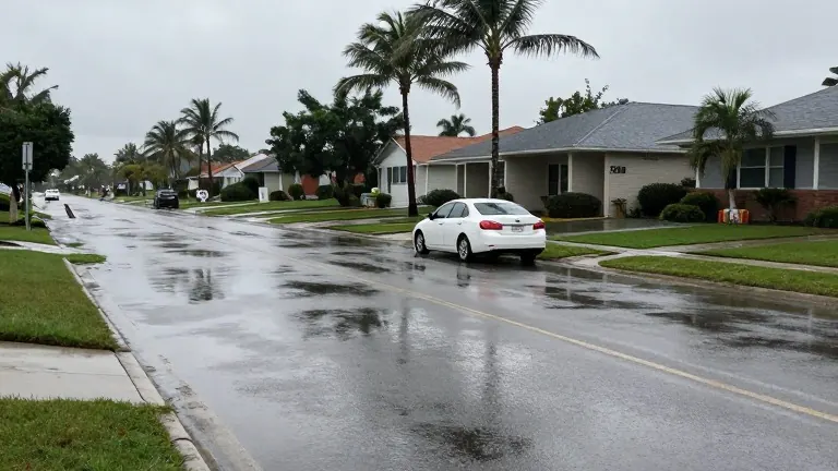
Meteorologists have identified the possibility of the strongest El Niño event recorded since measurements began in 1950. This extreme weather pattern is expected to persist through the upcoming winter, fundamentally altering typical seasonal conditions in South Florida.
National Weather Service Miami Meteorologist Robert Moyeda noted that Pacific Ocean water temperatures will remain much warmer than normal throughout the winter months. He stated that the current El Niño is forecast to continue, marking a departure from the usual dry season that begins in November.
The impact of this pattern has already been felt in recent days. Sunrise experienced massive flooding at Sawgrass Mills and Amerant Bank Arena on Monday and Tuesday. In Brevard County, record-setting rainfall triggered what experts are describing as a 1,000-year flood event.
Moyeda explained that the outlook for South Florida includes an increased chance of above-normal rainfall. He added that residents should expect a higher likelihood of severe weather events, including tornadoes, across the entire state of Florida during this period.
The National Oceanic and Atmospheric Administration released its U.S. winter outlook, which projects near-normal temperatures for Florida. However, the agency predicts that precipitation chances will remain above average for the coming months.
Experts indicate that climate change may also contribute to these shifts. Moyeda emphasized that a very strong El Niño increases the likelihood of damaging severe weather, particularly tornadoes, along the Florida peninsula and in South Florida. He urged residents to understand the potential damage these events can cause.
Source: WSVN